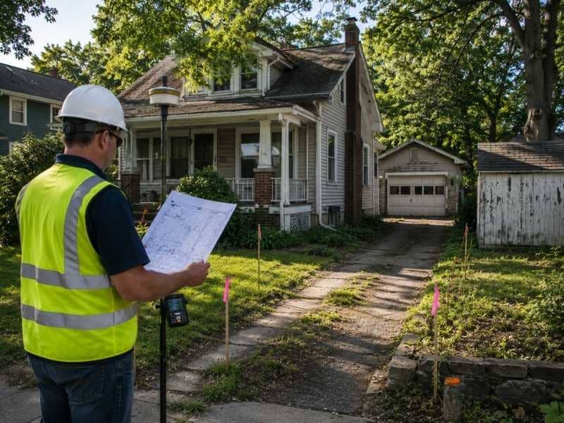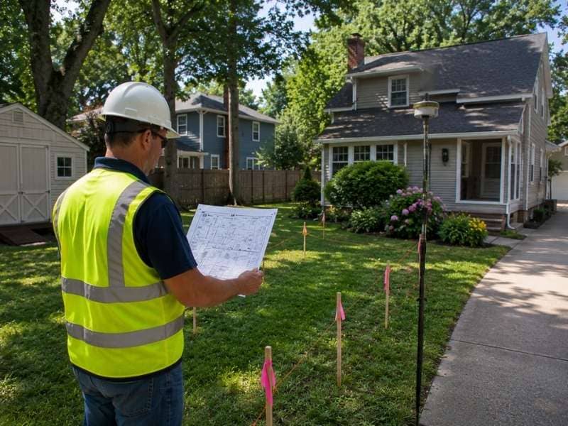
Property survey cost surprises a lot of homeowners. Two neighbors on the same street can call the same surveying firm and get back two very different quotes, even when their lots are nearly the same size. Lot size is part of the equation, but it’s rarely the main factor. Several other things affect how much time and work a survey takes. Knowing what those things are helps set better expectations before the work begins.
Why the Number of Lot Corners Affects Property Survey Cost
Every property has corners. A surveyor has to find or confirm each one of them. A simple rectangular lot has four corners. A lot with bends or irregular edges may have eight or ten or more. Each extra corner adds time because the surveyor has to measure it, record it, and either confirm an existing marker or set a new one.
This is why two lots with the same size can have very different prices. A square lot with four clean corners takes less time than a long, narrow lot with an angled back boundary and several corners along a shared line. The shape of the lot, not just its size, drives a big part of the field time.
How Recent Subdivision History Can Change Survey Scope
A property created through a recent subdivision tends to have cleaner records than one that has existed on its own for many decades. When a subdivision is recorded, the surveying firm sets markers, draws a detailed map, and files everything with the county. That gives a future surveyor a clear starting point.
Older parcels are different. Some were carved out through a series of private deed transfers over many years. Their paper trail is harder to follow. The surveyor may need to pull several deeds, work through conflicting descriptions, and trace the boundary back through old records. That extra research takes time and adds to the overall cost.
Why Gaps and Overlaps in Deed Descriptions Add to Survey Work
Not all deed descriptions are clean. Some older ones have gaps, meaning the written boundary doesn’t fully close when measured out. Others have overlaps, where two neighboring deeds both describe the same strip of land.
When that happens, the surveyor has to dig deeper. They may need to look at the original plat, review historical surveys from nearby lots, or compare several old deeds to find where the problem started. The goal is to find the boundary as it was first intended. Getting there takes more time than a survey where all the numbers line up from the start.
How a Shared Boundary Question Adds to Survey Time
Most surveys focus on one property. But when there’s a question about where a shared boundary sits, the surveyor may need to look at the neighboring lot too. That means pulling the neighbor’s deed, checking their recorded plat, and comparing both to find where the two properties are supposed to meet.
This happens more often than people expect. A neighbor may have a different idea about where the line is. An old fence may sit in a spot that conflicts with both deeds. A prior survey on one side may not match the recorded measurements on the other. Sorting that out takes more research and more field time, and that extra work shows up in the cost.
How Survey Timing Relative to a Project Phase Affects Cost
When a survey gets ordered matters more than most homeowners think. A survey done during the planning stage, before any design or permit work begins, tends to be more simple. The surveyor finds the boundary, records current conditions, and delivers a clean result.
A survey ordered in the middle of a project is a different situation. If plans are already drawn and the survey shows a conflict with a setback or boundary, changes are needed before the work can move forward. If a permit has already been submitted, the survey may need to support a revised application. Those extra steps take time. Getting the survey done early avoids most of those problems.
Frequently Asked Questions
Why do old records affect property survey cost?
Older records often take more time to read and understand. Deeds written many decades ago may use unclear language or reference things that no longer exist. The surveyor has to work harder to connect the written description to what’s on the ground today.
Can nearby structures affect property survey cost?
Yes. Buildings, walls, and other features close to the property line may need extra attention during fieldwork. The surveyor has to record where they sit relative to the boundary, which adds measurement time to the job.
Does hard-to-reach land change property survey cost?
Yes. Areas blocked by locked gates, thick brush, steep slopes, or standing water take more time to reach and measure. That extra field time is a real part of the work and affects the final cost.
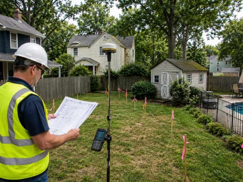
Do pools and sheds affect property survey cost?
They can. Structures added to a property after the original survey need to be found and recorded as part of the new survey drawing. The more features a property has, the more measurements the surveyor needs to take.
Why do surveyors spend time researching records?
Record research is how a surveyor learns the legal history of a property before going into the field. Checking deeds, plat maps, and prior surveys helps the surveyor spot potential problems and make sure the boundary work matches the recorded legal description.