Land Surveying Services in Aventura, FL
At Miami Land Surveying, we provide licensed, precise, and efficient land surveying services throughout Aventura, FL. Whether you’re a homeowner outlining your property limits, a developer preparing a site plan, or an attorney requiring a certified survey, our team of experts delivers accurate, fast, and fully compliant results. Give us a call by dialling (305) 376-7707 to get going.
We understand the specific challenges of surveying in Aventura—where high-value properties, waterfront zoning, and vertical developments demand a detail-oriented and professional approach.
Licensed Surveyors in Aventura, FL
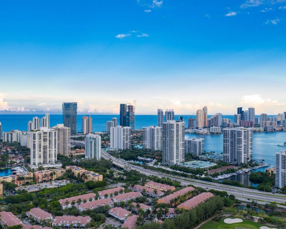
Aventura is known for its luxury high-rises, mixed-use developments, and active real estate market. With properties near the Intracoastal Waterway, Biscayne Boulevard, and the Aventura Mall, projects often involve complex zoning, environmental considerations, and tight timelines.
Our licensed land surveyors in Aventura work with homeowners, contractors, engineers, developers, and real estate attorneys to deliver reliable surveys that align with city regulations and development goals. Whether you’re working on a waterfront home or a commercial tower, our services are designed to support your success from the ground up.
Our Core Services
We offer a complete range of land surveying services for residential, commercial, and legal projects. Each service is conducted or reviewed by a licensed professional using advanced tools like GPS, CAD, drones, and total stations.
- Boundary Surveys. Our boundary surveys clearly mark the legal property lines for your lot. These are essential for real estate transactions, fencing, new construction, or resolving disputes. We use deed records, plats, and Aventura zoning data to ensure accuracy.
- ALTA/NSPS Land Title Surveys. We provide ALTA/NSPS surveys in Aventura to meet national standards for commercial property deals. These include boundaries, easements, access rights, encroachments, and improvements—required for lender approval and title review.
- Topographic Surveys. Topographic surveys capture land elevations, slope, and visible features across your site. In Aventura, where drainage, grading, and stormwater planning are essential, our surveys help engineers and architects plan responsibly.
- Elevation Certificates. We issue FEMA-compliant Elevation Certificates in Aventura for properties in flood-prone areas. These certificates are often required for flood insurance, construction permitting, and to determine base flood elevation levels.
- Construction. Our construction layout services ensure precise placement of structures, utilities, and infrastructure elements. Contractors in Aventura rely on our layout surveys to translate design plans into real-world coordinates and avoid costly errors.
- Drone LiDAR Mapping. We offer drone-based LiDAR surveys in Aventura to deliver high-resolution 3D terrain models quickly and accurately. This service is ideal for planning, permitting, and large-scale development where surface data and elevation are critical.
- Specialized Jobs: We also offer site assessments, as-built surveys, billboard permit drawings, land use planning assistance, and legal exhibits tailored to city or county requirements.
Why Choose Us?
✅Local Experience: We understand Aventura’s zoning, permitting, and environmental regulations
✅Licensed Professionals: All surveys are led by experienced, state-licensed land surveyors with years of Florida-based fieldwork.
✅Fast Turnaround: We value your time. Most surveys are completed within just a few business days.
✅Advanced Tools: We use advanced tools including drones, CAD, GPS, and LiDAR.
✅Tailored Service: Each project is tailored to your goals, timeline, and local requirements.

