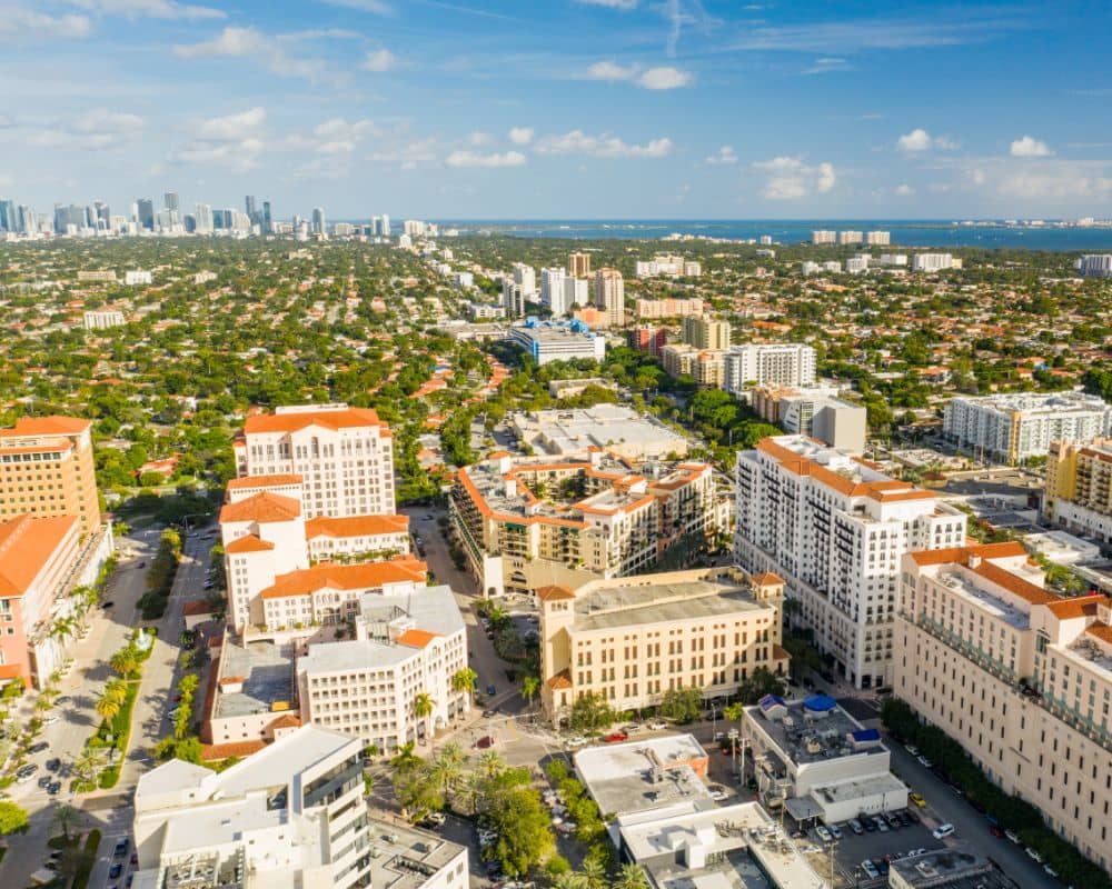
Land Surveying Services in Coral Gables, FL
At Miami Land Surveying, we provide licensed, accurate, and efficient land surveying services throughout Coral Gables City. Whether you’re a homeowner confirming property lines, a developer preparing for a new build, or a legal professional requiring certified documentation, our team of licensed land surveyors in Coral Gables City is here to help. Give us a call by dialling (305) 376-7707 to get going.
With years of experience in South Florida and a deep understanding of Coral Gables’ zoning laws, historic preservation codes, and development guidelines, we deliver results that are precise, compliant, and ready for submission to local authorities
Licensed Surveyors in Coral Gables, FL
Known for its Mediterranean-style homes, historic districts, and regulated development patterns, Coral Gables presents unique surveying challenges. Strict zoning enforcement, tree protection ordinances, and architectural review requirements make professional surveying a must for any improvement or transaction
Our licensed land surveyors in Coral Gables work closely with homeowners, developers, attorneys, and engineers to provide accurate surveys that align with the city’s preservation-focused regulations. Whether you’re building near Miracle Mile, remodeling in the Gables Estates, or subdividing property near the University of Miami, we have the local expertise to guide you.
Our Core Services
We provide a full range of land surveying services for residential, commercial, and legal applications. Every survey is performed or supervised by a licensed professional using modern equipment and city-compliant standards.
- Boundary Surveys. Our boundary surveys clearly mark your property’s legal limits—critical for renovations, fence installations, property disputes, and lot purchases. We reference city zoning maps, recorded deeds, and plats to ensure reliable results
- ALTA/NSPS Land Title Surveys. We provide ALTA/NSPS surveys in Coral Gables to meet the strict documentation requirements of lenders and title companies. These surveys include boundaries, easements, improvements, access rights, and encroachments—essential for secure commercial property transactions.
- Topographic Surveys. Topographic surveys detail elevation changes and land features across your site. In Coral Gables, where stormwater drainage, tree canopies, and grade-sensitive design are critical, our surveys provide the data architects and engineers need for compliant planning
- Elevation Certificates. We offer FEMA-compliant elevation certificates in Coral Gables to support flood insurance applications and local permit requirements. These certificates verify how your structure relates to base flood elevation and help avoid delays during development or resale
- Construction. Our construction layout surveys ensure that foundations, driveways, utilities, and other structures are built according to your approved plans. Builders in Coral Gables rely on us for accurate layout points that meet city inspection standards and avoid costly rework.
- Drone LiDAR Mapping. We use drone-mounted LiDAR to produce high-resolution 3D terrain data for large properties and sites with dense vegetation. Our LiDAR surveys in Coral Gables support planning, permitting, and floodplain analysis with unmatched speed and detail.
- Specialized Jobs. We also offer site assessments, as-built surveys, billboard permit drawings, land use planning assistance, and legal exhibits tailored to city or county requirements.
Why Choose Us?
✅Local Experience: We understand Coral Gables’ historic guidelines, zoning rules, and permitting process.
✅Licensed Professionals: All surveys are led by experienced, state-licensed land surveyors with years of Florida-based fieldwork.
✅Fast Turnaround: We value your time. Most surveys are completed within just a few business days.
✅Advanced Tools: We use GPS, CAD, drone imaging, and total stations for high precision results.
✅Tailored Service: We adapt each survey to your property type, project scope, and city regulations.

