
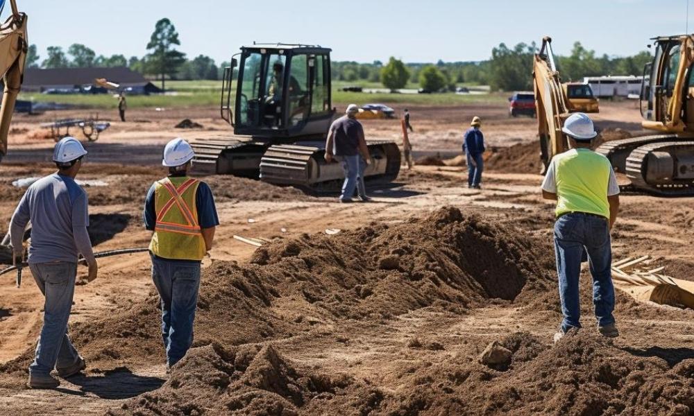
You walk on a property for the first time. It looks flat. Clean. Ready to build.
That first look can fool you.
The ground always tells a different story. Small dips, slight slopes, and hidden paths for water shape how your project will go. You just can’t see them at eye level.
A topographic survey shows the real shape of the land before any grading starts. It maps elevation, slopes, and drainage so engineers can plan safely and avoid costly mistakes.
What Does a Topographic Survey Show Before Grading?
A topographic survey shows elevation changes, slopes, drainage paths, and surface features on a property. It helps engineers understand how the land behaves before grading begins, so they can plan building placement, drainage, and site work with accurate data.
The ground is never truly flat.
Most people think flat land means easy construction.
That is not how it works.
Even a few inches of height change can shift water flow. Rain follows the lowest path, even if that path is hard to notice.
On a raw site, those small changes control where water collects, how soil moves, and how stable your building area will be.
Without clear data, grading becomes guesswork. And guesswork leads to problems later.
What Does a Topographic Survey Measure?
A topographic survey measures elevation and maps the shape of the surface. It collects points across the site to show slopes, high and low areas, drainage paths, and existing features.
Surveyors collect points across the site. Then they connect those points to show elevation changes.
From that, you get a clear picture of:
- high spots and low spots
- slopes across the land
- natural drainage paths
- existing features like trees, fences, and driveways
This map becomes the base for every design decision that follows.
No survey means no real understanding of the ground.
Why Is a Topographic Survey Needed Before Grading?
A topographic survey is needed before grading because it shows how water flows and where elevation changes exist. Without it, grading may direct water toward structures, create uneven surfaces, or cause soil movement after construction.
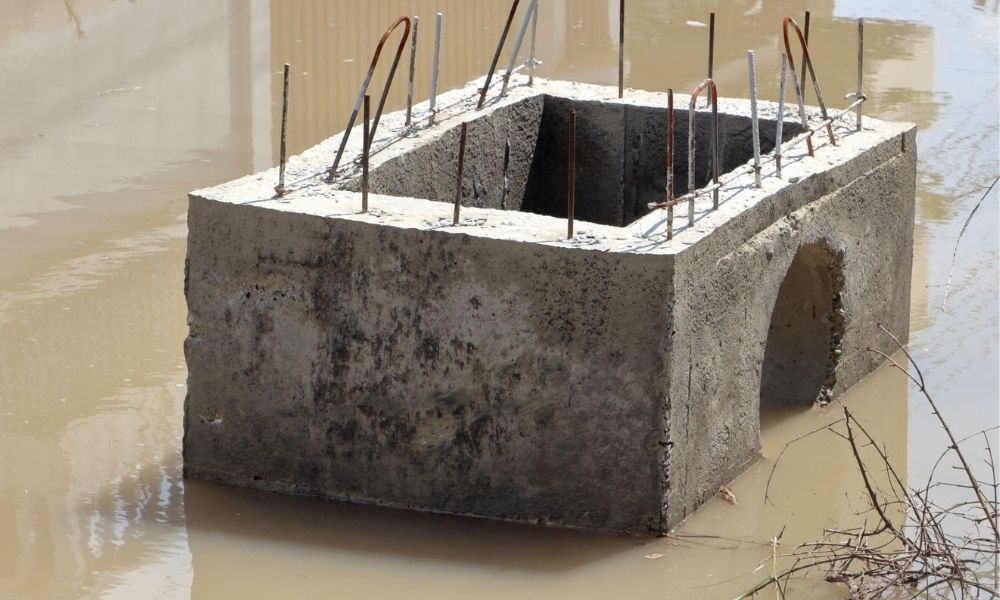
Grading shapes the land so water moves the right way and structures sit on stable ground.
It sounds simple. It is not.
If you grade without a topographic survey, you risk:
- sending water toward the house
- flooding driveways or patios
- creating uneven surfaces
- causing soil to shift after construction
Each of these problems costs time and money to fix.
With a survey, engineers design grading that works with the land instead of forcing it.
How Does a Topographic Survey Help Drainage Planning?
A topographic survey helps drainage planning by showing where water flows, where it pools, and where it exits the property. This allows engineers to design grading that moves water away from structures and prevents flooding.
Water is always the main issue.
On paper, a site may look fine. On the ground, water may already have a path. You just don’t see it yet.
A topographic survey shows:
- where water flows during rain
- where it slows down or pools
- where runoff exits the property
If grading ignores these patterns, water will find its way back.
What Problems Happen Without a Topographic Survey?
Without a topographic survey, builders may miss small elevation changes that affect drainage and stability. This can lead to flooding, erosion, uneven grading, and costly repairs after construction begins.
This is where most mistakes happen.
A difference of two or three inches might not look like much. Still, it can change everything.
That small drop can:
- direct water toward your foundation
- push runoff into a neighbor’s lot
- cause erosion along edges of the site
Once construction starts, fixing these issues becomes harder.
Catching them early is easier and cheaper.
What Do Builders Miss Without Survey Data?
Builders without survey data often miss subtle slopes, low areas, and uneven ground. These hidden issues affect foundations, drainage, and grading quality, and they usually appear only after work begins.
Some builders rely on visual checks or rough measurements.
That approach works until it doesn’t.
Without a topographic survey, they miss:
- subtle slopes across the lot
- low areas hidden by grass or fill
- old grading patterns from past use
- uneven ground that affects foundations
These details do not show up until grading begins. By then, changes slow everything down.
How Does a Topographic Survey Guide Design?
A topographic survey guides design by giving engineers accurate ground data. It helps them place structures, plan slopes, and set elevations so the site drains properly and stays stable.
A topographic survey does more than show problems. It helps shape better plans.
Engineers use it to:
- place the building at the right height
- design slopes that move water away
- plan driveways with smooth transitions
- set finished floor elevations
Each decision depends on real ground data.
That is how projects stay on track.
Why Should You Get a Topographic Survey Early?
Getting a topographic survey early helps avoid delays, redesign, and permit issues. It ensures plans are based on real site conditions from the start.
Waiting too long creates risk.
Some projects start design first. Then they check the land later.
That flips the process.
When survey data comes in late, plans often need changes. That leads to delays, redesign costs, and permit issues.
Getting the survey early keeps everything moving forward without surprises.
What Changes After You See the Survey?
After reviewing a topographic survey, you can see elevation lines, drainage patterns, and how the land behaves. This makes planning easier and reduces guesswork.
Once the survey is complete, the site looks different.
Not physically, but on paper.
You see where water will go before it ever rains.
That clarity changes decisions.
Why a Topographic Survey Saves Money
A topographic survey saves money by preventing grading errors and drainage problems. Fixing issues after construction costs more than planning correctly from the start.
Skipping it may seem like a way to save money.
It usually does the opposite.
Water damage, regrading, and repairs add up fast.
A survey helps prevent those problems from starting.
The Real Value Before Grading Begins
Before any machine touches the ground, you need to understand it.
A topographic survey gives you that understanding.
It shows what your eyes cannot see. It reveals how the land behaves. It guides every grading decision that follows.
That is how projects stay smooth, stable, and on schedule.