Most developers know they need a survey before closing. Fewer know exactly what that survey must include to actually hold up legally. A licensed land surveyor can sign and certify specific documents, and only those documents carry legal weight for permits, lenders and title companies. Anything outside that scope is not a survey. It’s just a map.
What Makes a Land Surveyor Licensed
A land surveyor must hold an active Professional Surveyor and Mapper (PSM) license issued under Chapter 472 of the Florida Statutes. The Florida Department of Business and Professional Regulation (DBPR) issues and tracks these licenses.
Getting a PSM license requires:
- A degree in surveying and mapping from an accredited program
- Several years of supervised field experience
- Passing the Fundamentals of Surveying exam
- Passing the Principles and Practice of Surveying exam
You can verify any surveyor’s license status for free through the DBPR online database. The license number must also appear on every certified document the surveyor produces. If it’s not there, the document is not legally valid.
What a Licensed Land Surveyor Can Legally Sign
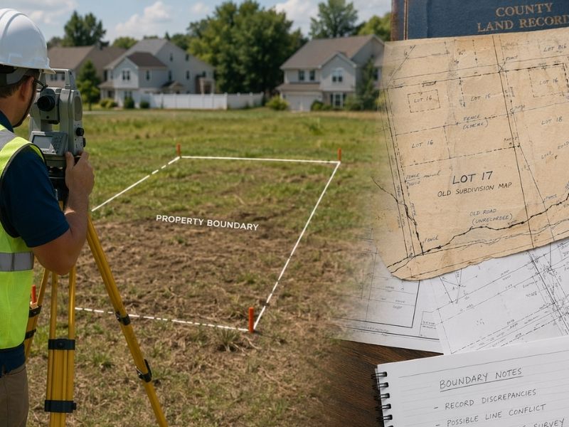
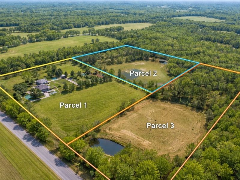
Boundary Survey
A licensed land surveyor can sign and certify a boundary survey. This is the document that shows the exact legal limits of a parcel. It reflects deed research, physical monument locations and field measurements.
A certified boundary survey is the only document a title company will accept to remove boundary-related exceptions from a title policy. It’s also what most building departments require before issuing a permit for new construction or additions.
Elevation Certificate
A licensed land surveyor can sign and certify a FEMA Elevation Certificate. This document records the elevation of a structure relative to the Base Flood Elevation (BFE) on the FEMA Flood Insurance Rate Map.
Lenders require it on properties in Special Flood Hazard Areas. Insurance companies use it to set flood insurance premiums. Without a PSM signature, FEMA does not recognize it as valid.
ALTA/NSPS Land Title Survey
A licensed land surveyor can sign and certify an ALTA/NSPS Land Title Survey. This is the survey type commercial lenders and title companies require on income-producing properties and larger transactions.
It follows a national standard set jointly by the American Land Title Association (ALTA) and the National Society of Professional Surveyors (NSPS). The surveyor must certify that the survey meets those standards on the face of the document. No PSM signature means no valid ALTA survey.
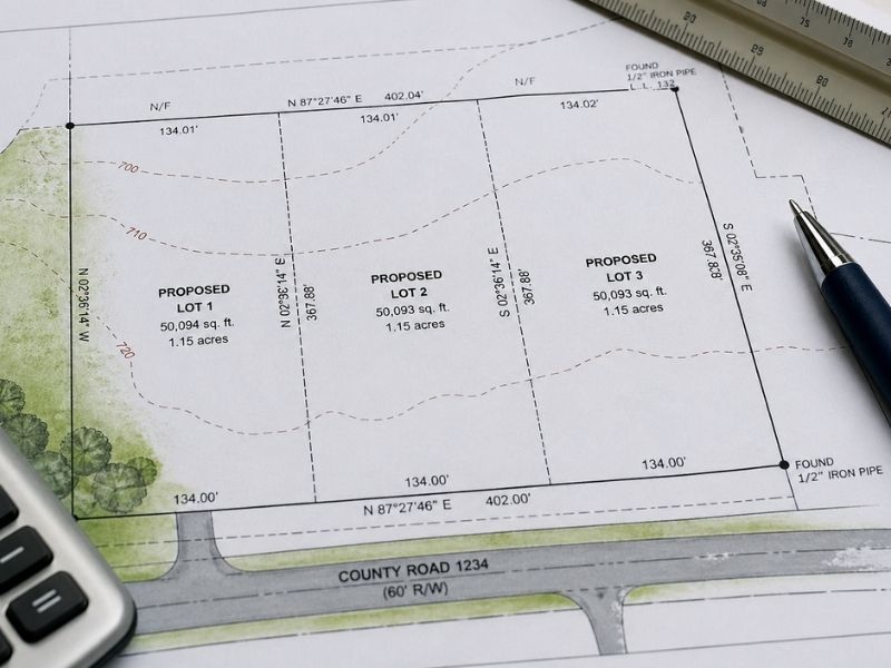
Subdivision Plat
A licensed land surveyor must sign and seal every subdivision plat before it can be recorded with the county. Florida Statutes Chapter 177 requires this. The plat creates the legal lots, streets and easements that form a subdivision. A county will not record a plat without a PSM seal.
Topographic Survey
A licensed land surveyor can sign and certify a topographic survey. This document maps the elevation and physical features of a site. Engineers and architects use it for grading, drainage and site design.
Construction Survey Documents
A licensed land surveyor can certify construction staking records and as-built surveys. These confirm that structures were placed where the approved plans required.
What a Licensed Land Surveyor Cannot Do
This matters as much as what they can do.
A PSM license does not authorize a surveyor to:
- Give a legal opinion on title or ownership
- Appraise land value
- Practice civil engineering without a separate PE license
- Provide legal advice on deed disputes or boundary litigation
- Issue zoning opinions or land use determinations
If a boundary dispute ends up in court, the surveyor can testify about measurements and deed interpretation. They cannot act as the property owner’s attorney. The two roles don’t overlap.
Some surveyors also hold a Professional Engineer (PE) license. When that’s the case, they can certify engineering documents under that separate license. But the PSM license alone doesn’t cover it.
Why the Signature Matters to Developers
Permits Won’t Move Without It
Most local building departments require a survey signed and sealed by a licensed PSM before they’ll issue a permit. A sketch, a GIS printout or an unsigned drawing doesn’t satisfy that requirement. The permit application stalls until a certified survey is submitted.
Lenders Check the Seal
Commercial lenders review the surveyor’s license number and certification language before approving a construction loan. If the survey comes from an unlicensed provider, the lender’s underwriting team will reject it. That stops the loan.
Title Companies Rely on the Certification
When a title company issues a policy without boundary exceptions, they’re relying on the surveyor’s professional certification. The surveyor is legally responsible for the accuracy of the document. That’s what gives the certification its weight. An uncertified document gives the title company nothing to stand on.
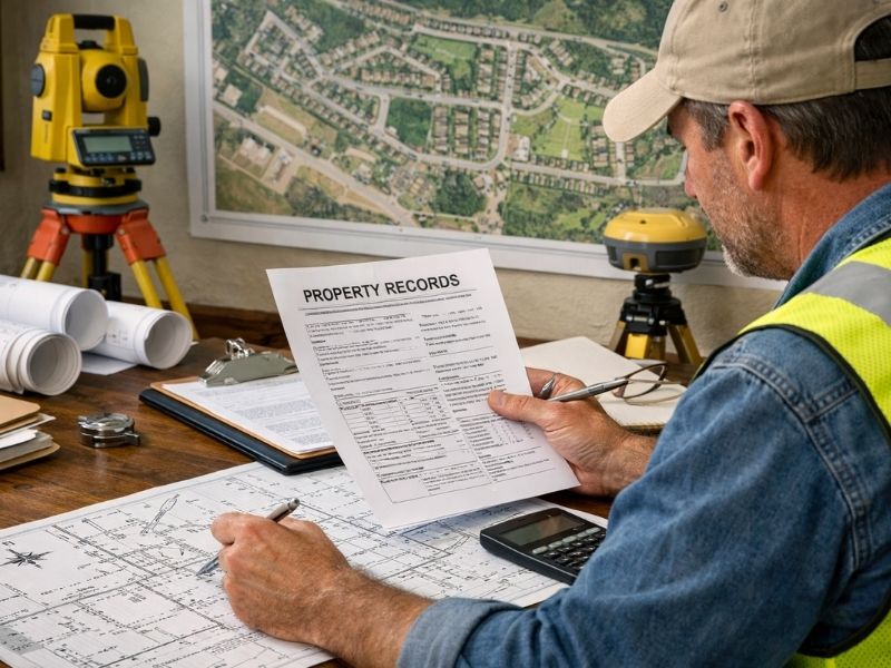
How to Confirm a Surveyor’s License Before You Hire
Three steps. Takes five minutes.
- Ask the surveyor for their PSM license number before signing anything.
- Go to the Florida DBPR website and search the license database by name or number.
- Confirm the license is active and has no disciplinary history.
If the license is expired, suspended or shows a recent complaint, stop the conversation. Hire someone else. A survey signed by a lapsed PSM has no legal standing and will be rejected by permits, lenders and title companies.
Frequently Asked Questions
What does a licensed land surveyor legally certify?
A licensed Professional Surveyor and Mapper (PSM) can legally certify boundary surveys, elevation certificates, ALTA/NSPS land title surveys, subdivision plats, topographic surveys and construction survey documents. Each certified document carries the surveyor’s license number and professional seal, which gives it legal standing for permits, title insurance and lender review.
Can a licensed land surveyor give a legal opinion on a boundary dispute?
No. A PSM can testify about measurements, deed calls and survey findings, but they can’t provide legal advice or title opinions. That falls under the practice of law. If a boundary dispute escalates, you need a real estate attorney alongside the surveyor’s certified documentation.
What happens if a survey isn’t signed by a licensed surveyor?
It has no legal standing. The building department won’t accept it for a permit. A lender won’t accept it for a loan. A title company won’t use it to remove exceptions from a policy. The document is effectively useless for any official purpose.
Does a PSM license cover engineering work?
No. A PSM license covers surveying and mapping only. A surveyor who also holds a Professional Engineer (PE) license can certify engineering documents, but only under that separate PE license. The two licenses cover different scopes of work and can’t be substituted for each other.
How do I verify a land surveyor’s license is active?
Search the Florida Department of Business and Professional Regulation (DBPR) online license database. You can search by the surveyor’s name or license number. The result shows whether the license is active, expired or has any disciplinary actions on record. Always check before hiring.