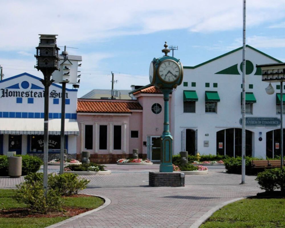
Land Surveying Services in Homestead, FL
At Miami Land Surveying, we provide licensed, fast, and accurate land surveying services throughout Homestead, FL. Whether you’re a homeowner defining property boundaries, a builder planning a new development, or a legal professional needing certified documentation, our experienced land surveyors in Homestead are ready to help.
We understand the critical role that land surveying plays in Homestead, where land development, zoning, and infrastructure expansion are actively shaping the city’s future.
Licensed Surveyors in Homestead, FL
Homestead’s unique blend of rural acreage, suburban neighborhoods, and agricultural land creates a variety of surveying needs. With zoning laws that support both residential and commercial growth, accurate land surveys are vital for smooth permitting and legal compliance.
Our licensed professionals are deeply familiar with Homestead’s local ordinances and land-use regulations. We assist homeowners, developers, contractors, and attorneys with fast, reliable surveys that meet the standards of city planning departments, title companies, and lenders.
We proudly serve communities across Homestead, including Redland, Waterstone, and Princeton, delivering precise surveys for residential, commercial, and legal purposes.
Our Core Services
We offer a full range of land surveying services for residential, commercial, and legal use cases. Every survey is conducted or reviewed by a licensed professional and delivered on time, with full documentation tailored to your project’s needs.
- Boundary Surveys. Our boundary surveys precisely identify and mark the legal limits of your property. Whether you’re installing a fence, resolving a boundary dispute, or preparing for a property sale, our team delivers fast, accurate results grounded in city zoning records and property deeds.
- ALTA/NSPS Land Title Surveys. Required for commercial property transactions in Homestead, our ALTA/NSPS surveys meet title company and lender requirements. These detailed reports include boundaries, easements, improvements, and access points.
- Topographic Surveys. Support site planning, engineering, and local permitting. These surveys capture terrain contours, elevations, and man-made features—critical for drainage design and construction in flood-prone areas of Homestead.
- Elevation Certificates. Support FEMA flood insurance requirements and local permitting. These certificates verify your property’s elevation relative to base flood levels, helping homeowners and builders determine insurance rates and ensure code compliance in flood-prone areas.
- Construction. Ensure precise placement of foundations, utilities, and structures. Builders and developers rely on our layout surveys to align their projects with plans and avoid costly errors.
- Drone LiDAR Mapping. Fast, accurate 3D terrain data—even in areas with heavy vegetation or complex topography. Ideal for large properties, infrastructure planning, and flood zone analysis, our LiDAR surveys help engineers and developers make data-driven decisions quickly and confidently.
- Specialized Jobs: We also offer site assessments, as-built surveys, billboard permit drawings, land use planning assistance, and legal exhibits tailored to city or county requirements.
Why Choose Us?
✅Local Experience: We understand Homestead—its zoning, permit process, and land development challenges.
✅Licensed Professionals: All surveys are led by experienced, state-licensed land surveyors with years of Florida-based fieldwork.
✅Fast Turnaround: We value your time. Most surveys are completed within just a few business days.
✅Advanced Tools: We use GPS, CAD, drones, and total stations for high precision results.
✅Tailored Service: Whether you need a simple residential survey or complex commercial documentation, we personalize every project.

