
Survey Mapping Before Redeveloping a Former Gas Station Site
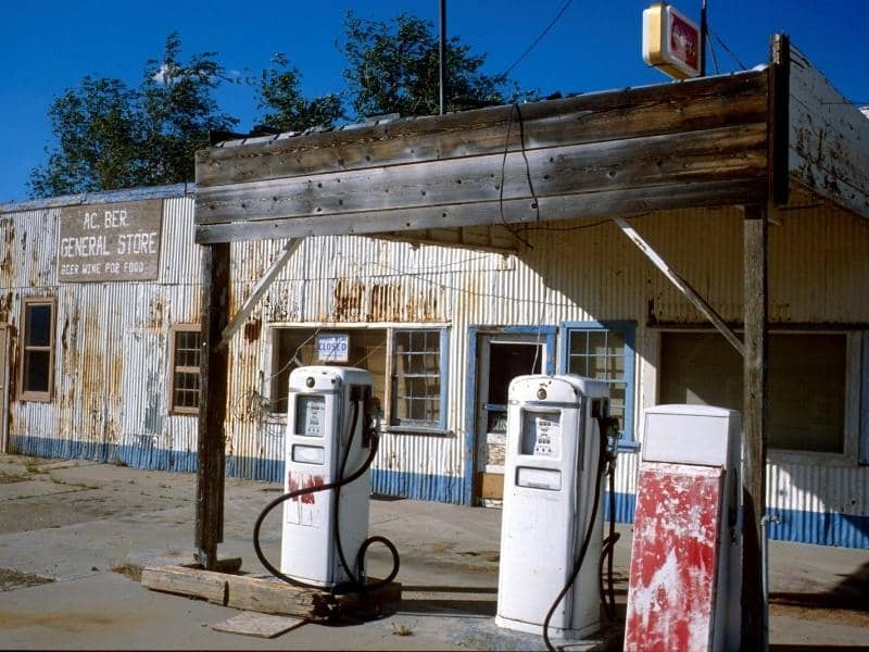
An old gas station can look like an easy lot to redevelop. The pumps are gone, the canopy comes down fast, and the corner sits ready for something new. What that flat lot hides is a history that follows the property. Before any of it becomes a plan, you need a clear map of what’s really there.
Survey mapping gives you that map. It’s the measured record of a site’s boundaries, features, and elevations, drawn to scale. For a former gas station, it also sets the base that your environmental and design teams build on. Start here, and you avoid costly surprises once the project is moving.
Confirming Property Boundaries Before Redevelopment Planning
Every redevelopment survey review starts with the true property lines. A surveyor confirms your boundaries using the deed, the recorded plat, and markers in the ground. This tells you the real size and shape of the lot you’re working with.
Corner sites like old gas stations often have a complicated history. Past road widenings, right-of-way takings, or dedications may have shrunk the usable land. The lot on paper today may differ from what older records show.
Confirmed boundaries set your buildable area and your setbacks. They also help you understand how site access conditions may affect what you can fit and where it can sit. Getting this right early keeps your whole plan from resting on a bad assumption.
Mapping Existing Site Features and Improvements
Next, the survey records what’s on the site today. That includes pavement, curbs, signs, lighting, the canopy footprint, and old pump islands. It also locates visible utilities, vent pipes, and any monitoring wells left from past testing.
For a gas station, these features tell a story. Monitoring wells and vent pipes hint at where tanks and testing once sat. Mapping them gives your team a head start on demolition and cleanup planning.
This detailed base map becomes the shared reference for everyone. Your designer, contractor, and environmental consultant all work from the same picture. One accurate map prevents a lot of crossed wires later.
Reviewing Easements, Access, and Recorded Property Information
Old commercial corners often carry easements and access rights that affect redevelopment. An easement is a recorded right for someone to use part of the land for a set purpose. There may be utility easements, drainage easements, or shared access with a neighbor.
Access is a big deal for any commercial reuse. Where cars can enter and exit, called curb cuts, is often controlled by the local road authority. The survey and title records show what access you have and where it sits.
Ask your surveyor and title company to pull the recorded documents tied to the parcel. These can limit building placement, parking, or entrances. Knowing them before design saves you from redrawing plans later.
Using Topographic Survey Data for Grading and Drainage
Survey mapping usually includes topographic data, which records the site’s elevations and slopes. This shows how the ground sits and how water moves across it today. Old stations are often fully paved and graded for their past use.
Redevelopment changes all of that. New buildings, parking, and landscaping shift how water drains. Your engineer uses the topographic survey to design grading and stormwater controls that fit the new plan.
Drainage rules vary by municipality, county, and regional water authority. Confirm the current requirements before you finalize grading. Accurate elevation data keeps your design realistic and review-ready.
Coordinating Survey Mapping With Environmental Site Due Diligence
A former gas station usually needs environmental due diligence before redevelopment. This often includes a Phase I and sometimes a Phase II environmental site assessment. These are done by environmental professionals, not surveyors.
Survey mapping supports that work in a direct way. The environmental team plots soil borings, monitoring wells, and old tank locations onto the survey base map. Accurate positions help them target testing and later track cleanup.
Keep the two efforts talking to each other from the start. The surveyor locates known features, and the environmental consultant assesses what’s below ground. Environmental rules vary by agency, state, and county, so confirm the scope early with qualified professionals.
