
LiDAR Mapping for Measuring Earthwork on a Large Urban Site
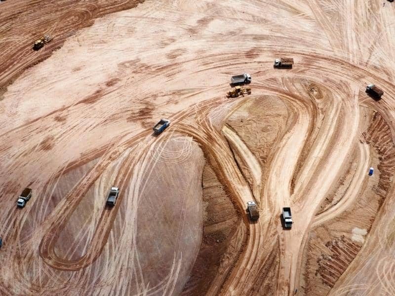
Earthwork is where big site budgets quietly rise or fall. Moving dirt across a large lot costs real money, especially when urban site boundaries limit where soil can be moved or stored. Guess at the volumes, and you either haul away too much or truck in fill you didn’t need. Accurate measurement is how you keep that cost under control.
LiDAR mapping gives you that accuracy. It uses laser pulses to measure millions of points and build a precise map of the ground. On a large urban site, that data lets you measure earthwork, track progress, and check grades as you go. Start with it, and you manage the dirt instead of chasing it.
Mapping Existing Ground Conditions Before Earthwork Begins
You can’t measure how much dirt you moved without a starting point. LiDAR mapping captures the site’s ground surface before any earthwork begins. That first scan becomes your baseline for everything that follows.
LiDAR collects a dense cloud of measured points across the whole site. Surveyors process those points into a bare-earth model, which strips out things like brush to show the true ground. On a large urban lot, this covers far more ground than spot measurements ever could.
This baseline also supports later construction grade checks as earthwork moves forward. Old pavement, fill piles, and uneven grades all get recorded as they are. Capture them accurately now, and your later volume numbers have a reliable starting point.
Using LiDAR Data to Measure Cut and Fill
Cut and fill are the two sides of earthwork. Cut is the soil you remove to lower an area. Fill is the soil you add to raise one. Balancing the two well can save a lot on hauling and material.
LiDAR mapping measures these volumes by comparing surfaces. Your team lines up the existing ground model against the design grade or a later scan. The difference between them gives the cut and fill amounts across the site.
Accurate volumes help in real ways. They support pay quantities, material orders, and truck counts. They also flag early if the site won’t balance, so you can plan for import or export before it becomes a scramble.
Tracking Earthwork Progress Across a Large Urban Site
A large urban site changes shape week to week. Repeat LiDAR scans let you see that change in numbers, not guesses. Each new scan compares against the last to show how much dirt moved.
This turns progress into something you can manage. You can check quantities against the schedule and the budget at each stage. If a phase falls behind or a contractor’s numbers look off, the data shows it.
Fast, wide coverage is the real gain on a big site. LiDAR maps the whole area in far less time than walking it with a rod. That speed keeps busy urban projects moving without shutting down work zones.
Mapping Earthwork Around Existing Urban Site Constraints
Urban sites rarely give you a clean, open field. You’re working next to existing buildings, streets, sidewalks, and utilities. Earthwork has to respect property lines, easements, and everything nearby.
LiDAR mapping records these constraints along with the ground. It captures curbs, walls, adjacent structures, and slopes near the property edge. That helps your team plan cuts that stay clear of neighbors and public right-of-way.
Staying inside your lines protects more than the schedule. Digging too close to a boundary or a structure can cause damage and disputes. Mapped constraints give the crew clear limits to work within.
Verifying Final Grades Before the Next Construction Phase
When earthwork wraps, the grades have to match the design before building starts. LiDAR mapping verifies the finished surface across the whole site. It compares the graded ground to the target elevations.
This check catches problems while they’re still cheap to fix. A low spot that traps water or a high area under a future slab shows up in the data. Fixing it now beats tearing up finished work later.
Verified grades give the next phase a clean handoff. Foundations, paving, and utilities all depend on the ground sitting where the plan says. Confirm the grades, and each trade starts on solid footing.
